

Get started with HERE GIS Data Suite
This guide shows how to open HERE GIS Data Suite in ArcGIS Pro®, browse the data, and test the included locator and basemaps. To check which regions the data covers, see the Coverage Map.
HERE GIS Data Suite includes truck attributes and traffic patterns. Cellular signal information is available as an add-on.
Data access
After purchasing HERE GIS Data Suite, you receive instructions on how to access and download the data on your local machine. Follow these instructions carefully to ensure proper setup.
System requirements
To use the HERE GIS Data Suite, you need the following software and components:
- ArcGIS Pro® software (Basic, Standard, or Advanced license)
- ArcGIS Network Analyst license extension, if you plan to perform network analysis. For more details, see ArcGIS Network Analyst licensing.
- File Geodatabase (fGDB) license file - If your HERE GIS Data Suite package includes a license file, you must install it before accessing the data. For detailed instructions on applying the license in ArcGIS Pro®, see Manage file geodatabase data licenses.
Explore the components
-
Package and project file
Locate your HERE GIS Data Suite package and make sure to unzip the data. Open the ArcGIS Pro folder inside the package, then double-click the*.aprxfile.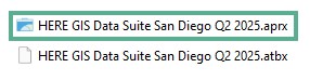
-
Content access and display
Open the pre-defined map, which contains layers with all your purchased data. In the Project tab of the Catalog pane, expand the Maps container and click to select the map.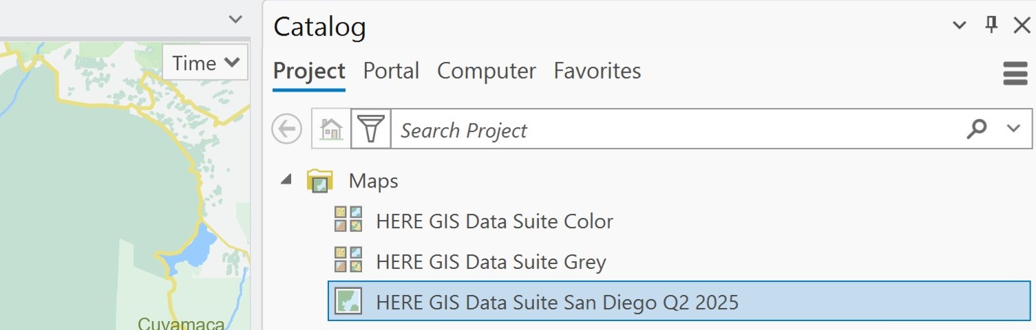
-
File geodatabase access
Navigate to the source of your map content layers.
In the Project tab of the Catalog pane, expand Databases and then your file geodatabase (*.gdb) to view its objects (feature classes, tables, and datasets).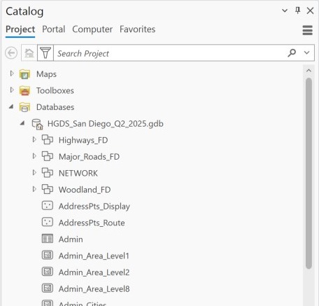
-
Locators
A locator allows you to search for and find specific places, addresses, or coordinates within your map.
The HERE GIS Data Suite package includes a ready-to-use locator that helps you quickly test and investigate locations. To use it on your pre-defined map:- In the Catalog pane, expand Locators and find the locator file
HGDS_Locator_[...].loc. - In the Map tab of the ribbon, click the binoculars icon to open the locator pane.
- Enter your search term and press the [Enter] key.
- Right-click a location in the search results and select Show Details from the context menu to view the attributes of the selected location.
- In the Catalog pane, expand Locators and find the locator file
-
Vector tile basemap
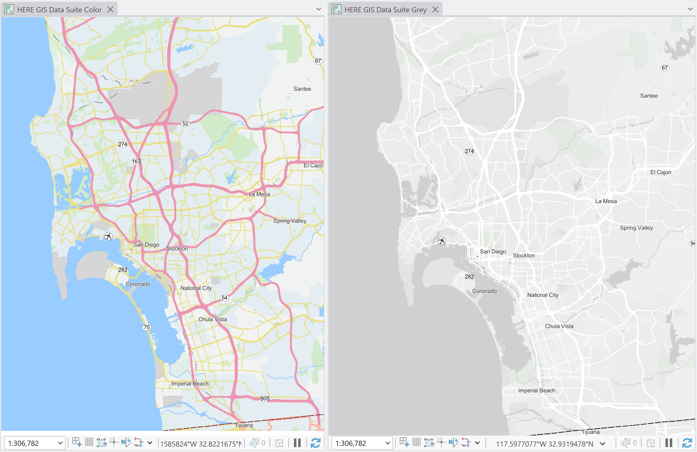
The HERE GIS Data Suite package provides ready-to-use basemaps in both color and grayscale to support different visualization needs.
In the Project tab of the Catalog pane, expand the Maps container.
Select the basemap that best fits your project:- HERE GIS Data Suite Color
- HERE GIS Data Suite Grey
Updated last month