

Key features - HERE GIS Data Suite
The HERE GIS Data Suite datasets and feature classes include the following key components:
- More than 75 geospatial datasets, many with pre-symbolized layers ready for out-of-the-box use
- Network dataset for location analysis using ArcGIS Network Analyst
- Locator files supporting high-accuracy geocoding, built with point addresses, Micro Point addresses, Places, POIs, street address ranges, and administrative boundaries
- Places data with comprehensive attribution covering over 400 categories
- Vector tile packages for fast creation of high-quality basemaps
- Specialized road network data, such as height and weight restrictions and preferred truck routes
Out of the available datasets and feature classes, the Streets feature class is a good place to start, as this component enables many features:
- Routable street geometries with road characteristics such as "paved" and "number of lanes"
- Access information, including permitted vehicle types and public or private access
- One-way restrictions and relative elevation information, which support routing applications
- Street segments with street address information and alternate addresses
Translations or transliterations are included where possible in regions where the primary language doesn't use the Latin alphabet. For each country, the Streets feature class also supplies up to four administrative boundaries. Other basemap feature classes include LandUse, Facility_Areas, Railways, Water_Lines, Oceans, Islands, and Buildings_3D.
The driving conditions table provides descriptions of turn restrictions, including those resulting from legal requirements or road dividers. You can restructure these restrictions to support specific routing software applications. The Condition table includes other driving conditions such as gates, driver alerts, and toll roads.
The Places dataset includes locations such as hospitals, train stations, and shopping centers. The Places table provides associated details, including contact information, phone numbers, and websites.
Pre-configured maps and cartography
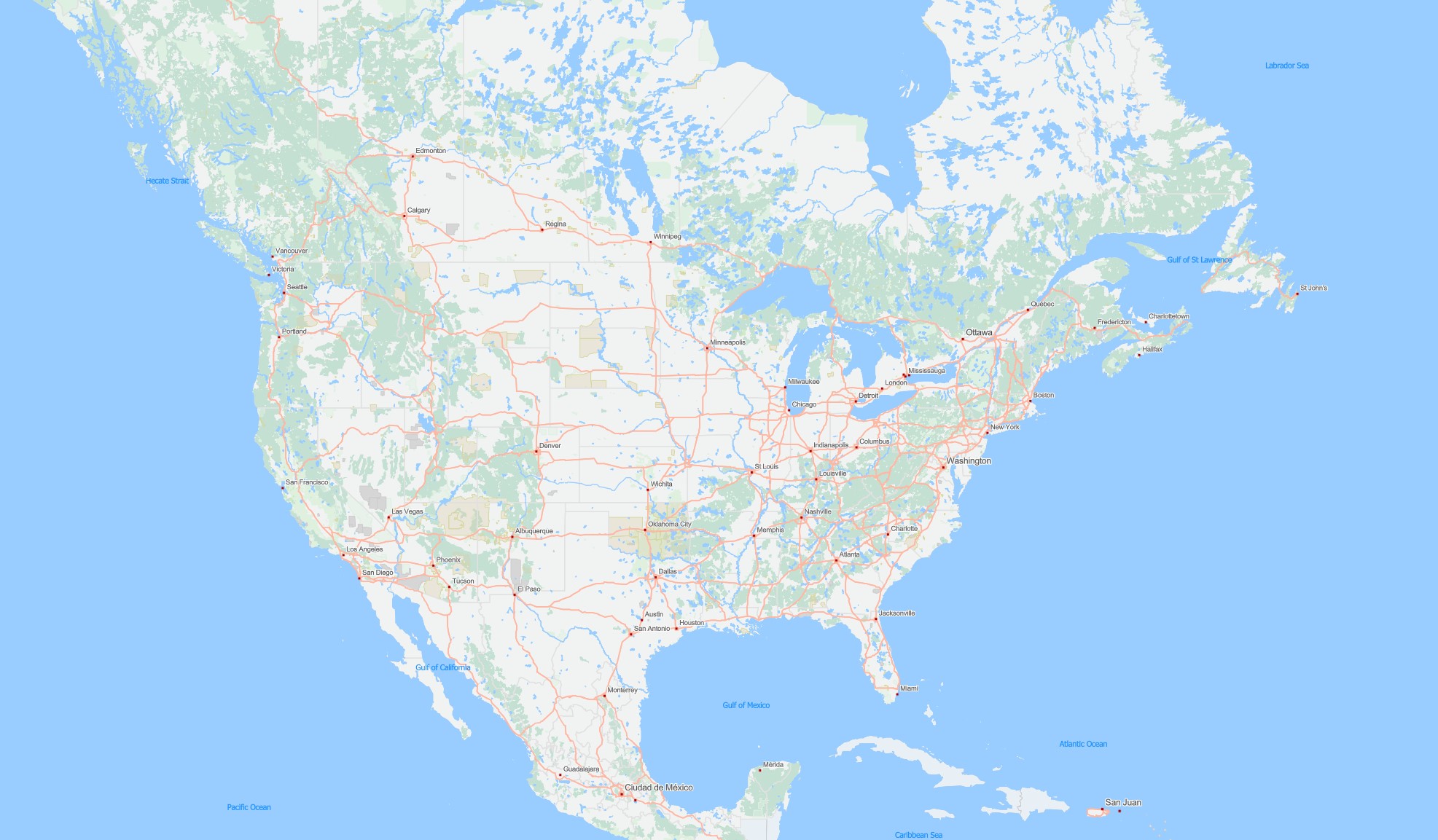
HERE GIS Data Suite provides an ArcGIS Pro® project containing pre-symbolized layers and basemaps. Use the Contents pane in ArcGIS Pro to choose which layers to display.
The grouping of the layers observes a logic with scale-dependent rendering of data and labels designed for high-quality cartographic display. A number of simplified cartographic layers facilitates faster redraws of the map window and reduces the need for definition queries.
Format and data structures
HERE GIS Data Suite data is available in the file geodatabase format as well as a vector tile package and as locator files.
Indexing of key attribute fields speeds up queries. Simplified mapping layers speed up redraws and enhance the cartography. Non-spatial tables supporting these effects are available.
Note
Esri® system fields are part of a majority of the feature classes and tables of the HERE GIS Data Suite. The data specifications and the lists in this user guide don't reference these but rather include only fields authored by HERE.
For descriptions, see Esri® system fields.
Key feature topics
The following topics provide detailed information on key network data features.
Historical traffic patterns
The network dataset provides HERE historical traffic pattern data. Historical traffic data assigns a traffic pattern to each segment in the Streets layer for every day of the week, in a given direction based on previous traffic flow measurements. A traffic pattern describes a speed ratio (relative to free flow speed) for each 15-minute interval throughout the day for travel along the segment. The traffic data integrated with HERE GIS Data Suite Streets for use in ArcGIS Network Analyst® allows you to run analyses at a specific time of day on a particular day of the week and reflect traffic conditions based on historical data for more accurate results.
Road infrastructure data
HERE GIS Data Suite also includes key road infrastructure components:
- Posted speed limits
- Special speed conditions
- Historical traffic
- Signs and warnings
In addition to speed category data, HERE GIS Data Suite provides actual posted speed limits on functional class 1–5 roads, together with information about special speed conditions such as school zones, speed cameras and speed bumps.
Also included in the road infrastructure components are point features corresponding to the following types of driver alert signage:
- Stop signs
- Traffic lights
- Blackspots
- Safety cameras
- Warning signs, such as steep descent, railway crossings, and give way signs
- Truck-specific warning signs
Specialized transportation data
HERE GIS Data Suite includes the following specialized transportation data:
- Physical road access restrictions for specialized transportation, such as height, weight, width, length, and number of trailers
- Legal restrictions, including truck-specific turn restrictions and speed limits
- Transport-specific points of interest
- Hazardous materials restrictions
- Transport-preferred routes
The types of preferred transport route vary by country. For example, 15 different preferred route types are available in Australia. HERE has integrated this information with the HERE GIS Data Suite Streets data for analysis in Esri® environments, including optimal route selection and driving-time calculations.
Updated 5 days ago