Earth layer
The following figure illustrates an example of a view of the earth rendered from the data.
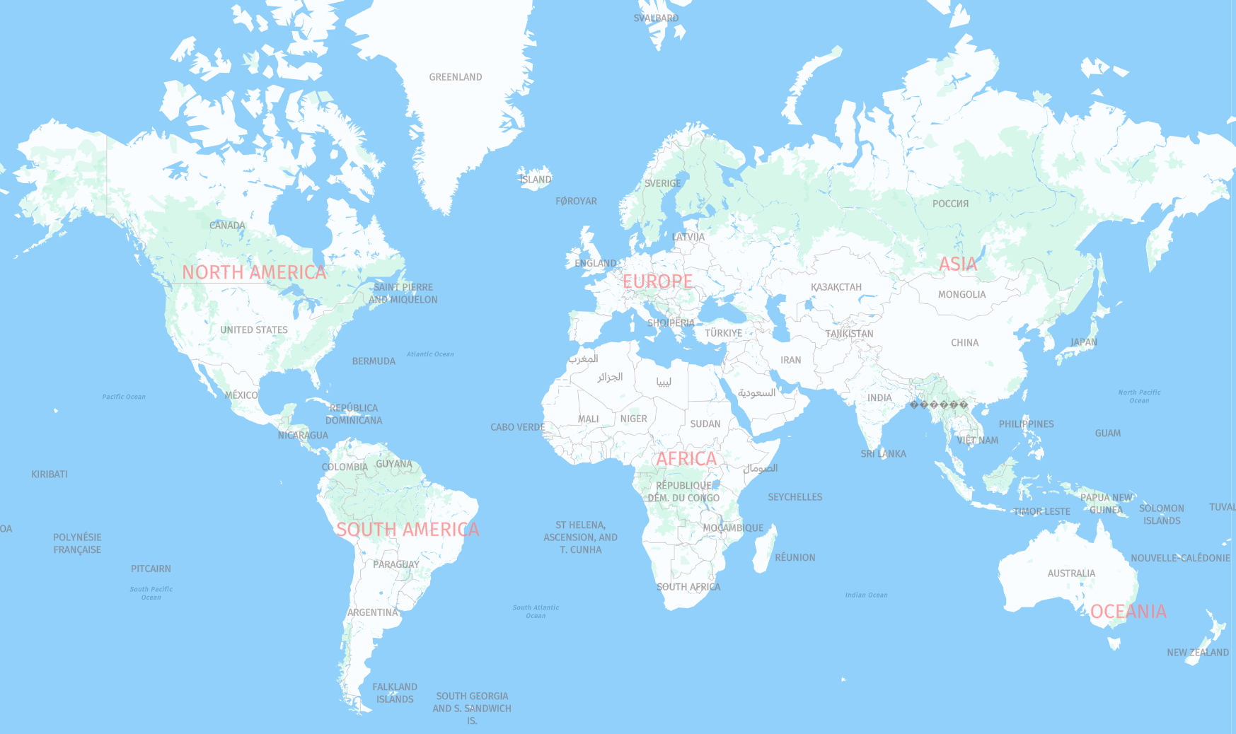
The layer content is defined as follows.
- Layer name:
earth - Geometry types:
point,line
Note
There is a key difference when compared to the Tilezen's implementation, as HERE only includes label positions and label texts for islands and continents. This means that HERE does not include the
polygongeometry type for this layer.
Earth Properties (common)
common)The following properties are used to define a view of the earth.
name- This property contains the text to display in label placement points.id- This is an ID used internally within HERE.kind- Earth views can be one of the options listed below.
Earth kind Values
kind Valuescontinent- point, intended for label placement onlyisland- point, intended for label placement onlyridge- line, intended for mountain ridge label placement
Updated 6 days ago