

Choose image format
PNG and PNG8 no longer supported for satellite.day
The PNG and PNG8 image formats are no longer supported for requests that use the
satellite.daystyle.Requests for this style using PNG or PNG8 now automatically return JPEG-compressed tiles instead, with a corresponding
Content-Typeheader. Use the JPEG format directly in your requests going forward.
The image formats supported by the HERE Raster Tile API include PNG, JPEG, and PNG8. When you select an image format for your map tiles, consider the complexity of your map, the number of colors required, the need for transparency, and the trade-off between the file size and visual quality of the map image.
Based on the style, the recommended format parameter values are:
jpegfor any style that includes satellite imagery such assatellite.daystyle orexplore.satellite.daystyle (PNG and PNG8 requests for thesatellite.daystyle are automatically served as JPEG)png8for all the other stylespngan alternative to thepng8when you prefer full image colors over smaller image file size
Note
Due to the internal representation of satellite imagery, the
PNGimage format does not result in better image quality as theJPEGimage format despite the much larger image size.
Examples
The following examples demonstrate how each image format appears when applied to map tiles. Compare the visual quality and file size characteristics of each format.
PNG8 format
The following request demonstrates how to request a tile in the PNG8 format:
GET https://maps.hereapi.com/v3/base/mc/14/4521/6833/png8?size=512&apiKey={YOUR_API_KEY}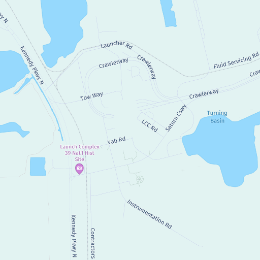
PNG format
The following request demonstrates how to request a tile in the PNG format:
GET https://maps.hereapi.com/v3/base/mc/12/2200/1343/png?apiKey={YOUR_API_KEY}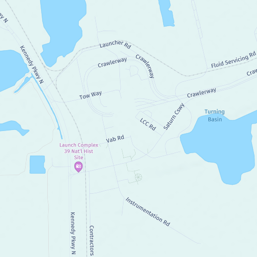
JPEG format
The following request demonstrates how to request a tile in the JPEG format:
GET https://maps.hereapi.com/v3/base/mc/12/2200/1343/jpeg?apiKey={YOUR_API_KEY}&style=explore.satellite.day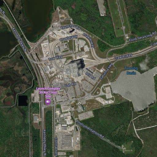
Requesting png or png8 for the satellite.day style returns JPEG-compressed tiles regardless.
Next steps
- For more information on available map styles and their visual characteristics, see Apply styles.
- For more information on API endpoints and request parameters, see the API Reference.
Updated 14 days ago