
water
Content: default
Geometry: line, point, polygon
Zoom: 0–17
The water layer in the HERE Vector Tile API includes information about various water features such as rivers, lakes, oceans, and other bodies of water. The features of the water layer provide data on the classification and attributes of these features, allowing you to visualize them on a map.
The following figure illustrates sample features of the water layer rendered from the data:
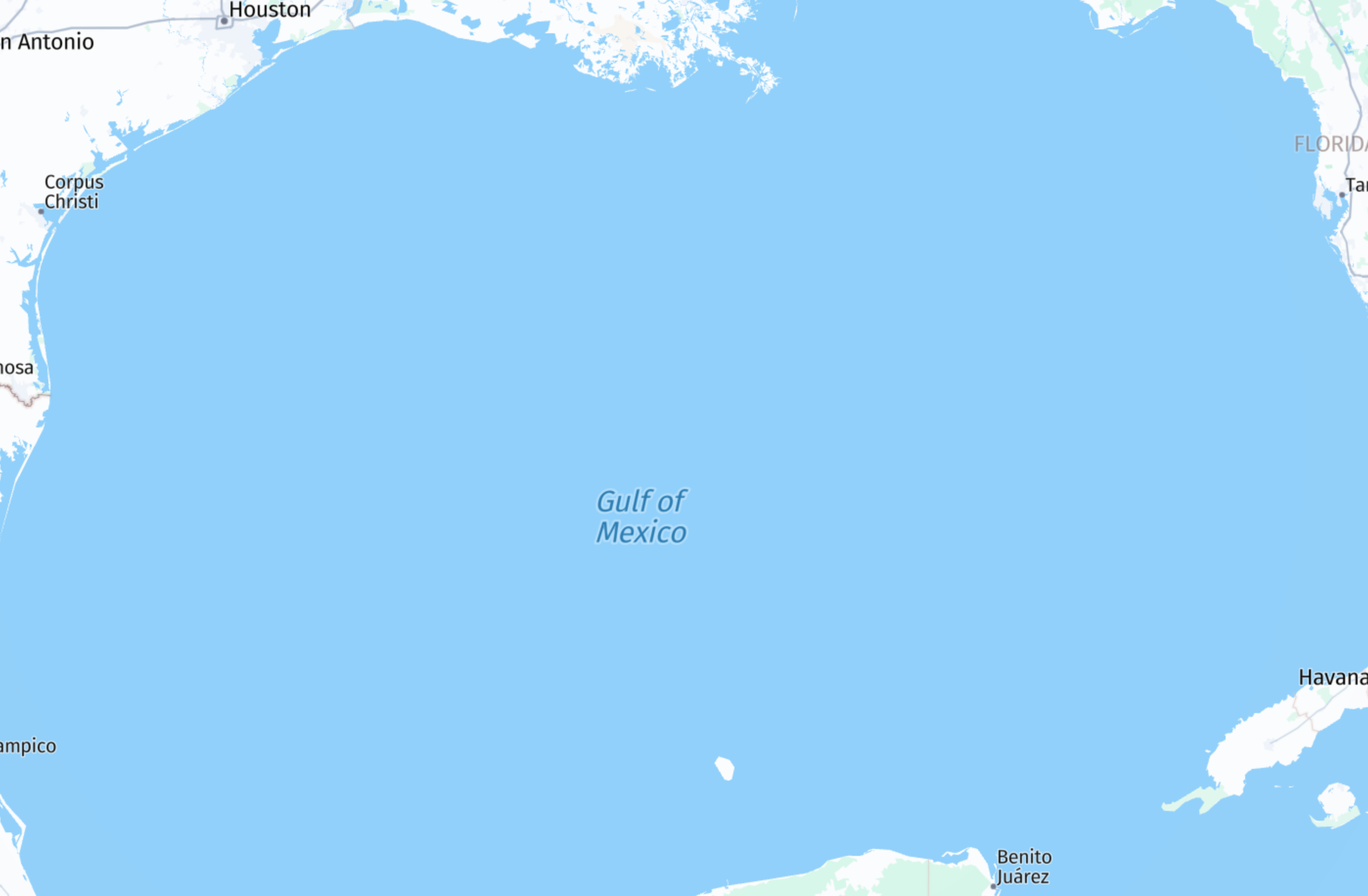
The water layer comprises polygon geometries that depict oceans, riverbanks, and lakes. Additionally, it incorporates line geometries representing the centerlines of rivers and streams, as well as point geometries indicating the optimal positions for labeling polygons, ensuring duplication is avoided across tile boundaries.
Properties
kind | kind:{country_code} | name | name:{language_code} | translit:{language_code} | depth | display_class | intermittent | is_label
Common properties
Common properties specific to Japan - core map
kind
Type: string
Optional
The general type of water feature. For disputed water feature labels, see kind:{country_code} properties.
Note
All polygons correspond to water area while points and lines are used for labeling.
Values
| Value | Geometry | Zoom | Description |
|---|---|---|---|
water | polygon | 0–17 | A generic polygon representing various water bodies such as oceans, rivers, and lakes. |
bathymetry | polygon | 0–17 | A polygon representing the depth of the ocean floor. |
stream | line | 5–17 | A small, narrow natural flowing waterway. |
river | line, point | 0–17 | A large natural flowing watercourse, represented as a line or label placement point. |
canal | line, point | 5–17 | An artificial waterway constructed for navigation or irrigation. |
ocean | point | 1–17 | A vast body of saltwater covering major portions of the Earth's surface. |
sea | point | 0–17 | A large body of saltwater partially enclosed by land. |
bay | point | 0–17 | A broad inlet of the sea where the land curves inward. |
fjord | point | 6–17 | A long, narrow inlet with steep sides formed by glacial activity. |
lake | point | 4–17 | A large inland body of water surrounded by land. |
strait | point | 2–17 | A narrow waterway connecting two larger bodies of water. |
Values specific to Japan - core map
| Value | Geometry | Zoom | Description |
|---|---|---|---|
swimming_pool | point, polygon | 12–17 | An artificially constructed pool for swimming or recreation. |
kind:{country_code}
Type: string
Present when zoom is: 2, 3, 4, 5, 6, 7, 8, 9, 10, 11, 12, 13, 14
An alternative to kind that reflects the geopolitical perspective of a country.
To display map features according to a specific political perspective {country_code}, a renderer must utilize kind:{country_code} if available; otherwise, default to kind.
For example:
International view:
kind: bay
kind:us=unrecognized_sea
USA view:
kind:us=sea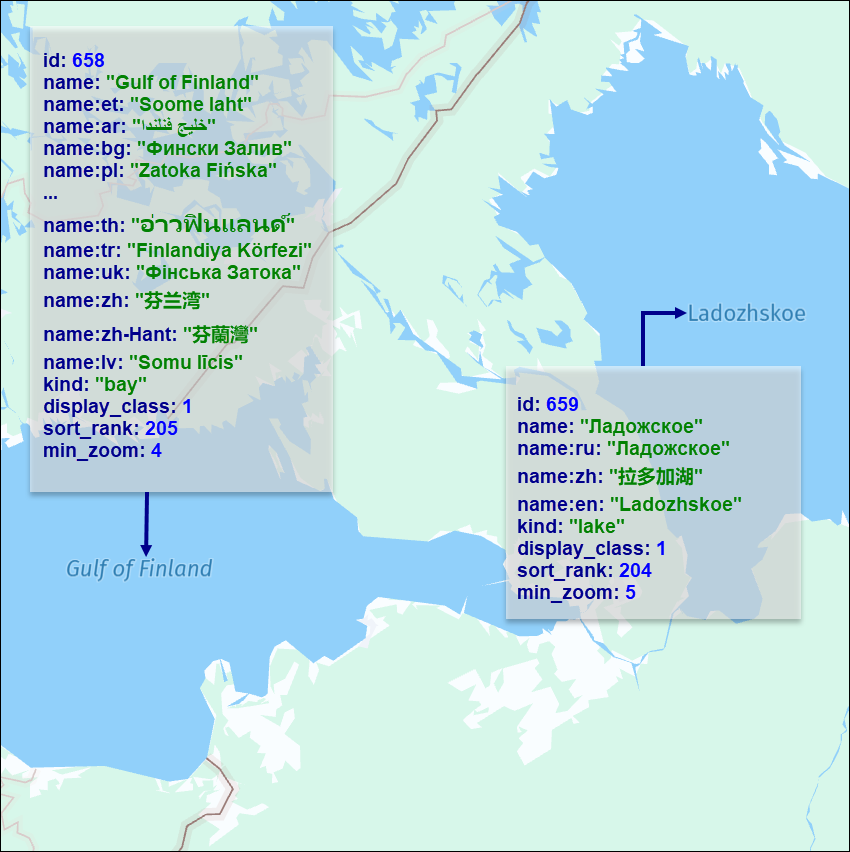
| Value | Description |
|---|---|
sea | A large body of saltwater partially enclosed by land. |
unrecognized_sea | A sea not recognized from the perspective of the requested country. |
name
Type: string
Optional
The common local name for the water body feature, in the local language script. For more information, see Feature names.
name:{language_code}
Type: string
Present when kind is: bay, canal, fjord, lake, ocean, river, sea, strait, stream, swimming_pool
The name of the feature in the specified language. If no data is available for the requested language code, the value may be compiled from an English or Latin transliteration of existing language representations. For more information, see Name localization.
translit:{language_code}
Type: string
Present when kind is: bay, canal, fjord, lake, ocean, river, sea, strait, stream, swimming_pool
The localized transliteration of the default name (name). For more information, see Name localization.
depth
Type: int
Present when kind is: bathymetry
The distance from sea level to the ocean floor.
| Value |
|---|
4000 |
5000 |
6000 |
display_class
Type: int
Optional
This property indicates the importance of the corresponding water feature. The value is an integer from 1 (more important) to 8 (less important). Available for line and point geometries.
intermittent
Type: flag
Present when kind is: stream
This property marks features that sometimes run dry or disappear seasonally.
is_label
Type: flag
Present when kind is: canal, river
This property marks linear features which are generated from polygonal geometries. This property is available only for the line geometry.
Common properties
min_zoom
See min_zoom.
sort_rank
Type: int
Always present
The ordering of features, which determines which features are rendered "on top of" other features, can be an important issue when rendering maps. To assist map rendering, there is a sort_rank property on some features that suggests in what order the features should appear.
A feature with a higher sort_rank value is displayed on top of feature with a lower sort_rank value.
Values
Values specific to Japan - core map
| Value | Associated kind |
|---|---|
415 | swimming_pool |
Common properties specific to Japan - core map
source
See source.
Updated 15 days ago